 Nuclideon

Your team captured 7.82 terabytes of LiDAR. Your tools showed you 10% of it.
Your team captured 7.82 terabytes of LiDAR. Your tools showed you 10% of it.






Your data is massive. Your tools are not.
Your data is massive. Your tools are not.
of your captured data goes unseen.
Traditional tools downsample, tile, and decimate your point clouds before rendering begins. Your analysts work from an approximation of reality.
per GPU over a 5-year lifecycle.
Hardware is only 35% of the bill — power, cooling, staffing, and idle capacity multiply the rest by 5×. Infrastructure your field teams can’t carry, your classified networks won’t permit, and your CFO can’t defend.
to move your captured dataset to an analyst in the field.
At 2Mbps satellite bandwidth, those 4 terabytes sit six months away from anyone who needs them. Your classified network bans cloud transfers outright. GPU-dependent platforms need infrastructure your operating environment will never have.
Sensors get cheaper. Capture density increases with every product cycle. Your datasets grow, and your tools cannot keep up. They force you to cut the data to fit the tool.
You have been accepting this tradeoff because no alternative existed. That changed.
The team that solved unlimited-scale rendering. Twice.
The team that solved unlimited-scale rendering. Twice.
Paul Fox, Nuclideon's CTO, and the development team, spent over a decade building a CPU-native algorithm that searches trillions of 3D points in real time and renders only what is visible on standard hardware. No GPU. No downsampling. No compromise on what the sensor captured.
Leica Geosystems licensed that engine to power their JetStream product line. 30,000+ users across the global survey industry ran on the Unlimited Detail engine. Production infrastructure for one of the largest geospatial companies on earth, running for close to a decade before the commercial relationship wound down.
The company that commercialized it, Euclideon, entered administration. Commercial execution broke down. The technology never stopped performing.
In August 2025, Paul Fox and Kristian Wares acquired the assets, cleared the debt, and incorporated Nuclideon. The engineering team that built the Unlimited Detail™ engine owns it again.
The team that built the technology rebuilt the company around it. In the first five months, Nuclideon contracted the US Navy, Lockheed Martin, and the Queensland Government. The patents are granted. The customers are paying. The engine runs.
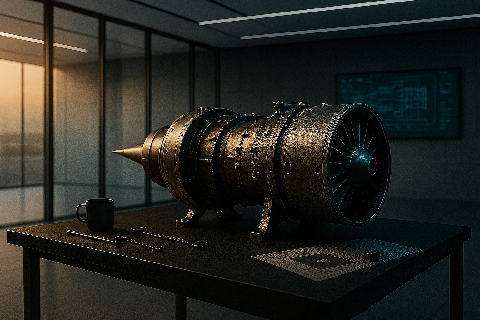
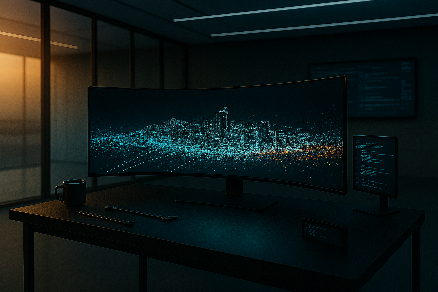
We made your hardware enough.
Nuclideon's patented Unlimited Detail™ engine searches your entire point cloud every frame, retrieving only the points visible at your current view. Rendering cost stays constant whether the dataset is 1 gigabyte or 200 terabytes. CPU-native. No graphics card.
Trusted where the stakes are highest.
Claims mean nothing without deployment evidence. Here is what Nuclideon delivers in production, today, for organizations with zero tolerance for vendor promises.
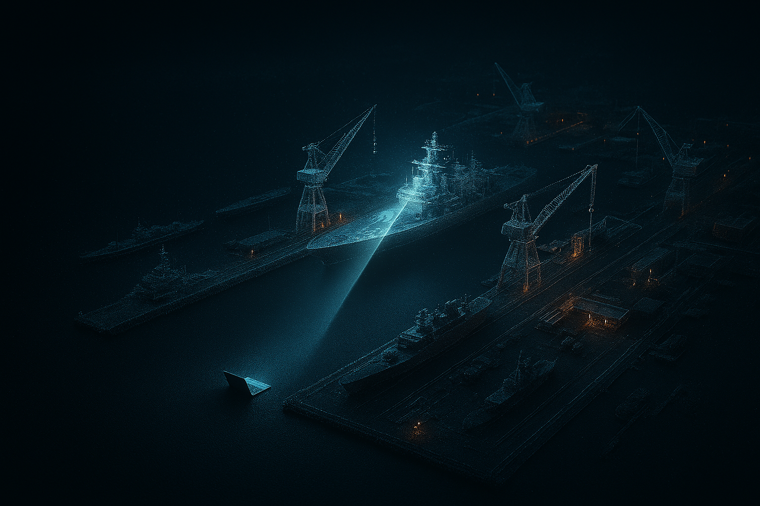
US Navy
Full-resolution 3D digital twins of naval assets, rendered in real time on standard-issue hardware. Full data fidelity, streamed inside your classified network.
Digital Earth: Queensland Geoscience Platform
171,000+ geoscience datasets from the Geological Survey of Queensland, navigable in a single 3D environment. Exploration geologists zoom from state-wide geophysics to individual borehole textures without switching tools. Built with UQ Sustainable Minerals Institute and the Department of Resources.
Leica Geosystems JetStream
Leica Geosystems embedded the Unlimited Detail engine into JetStream and shipped it to 30,000+ users across the global survey industry. The integration ran in production for a decade.
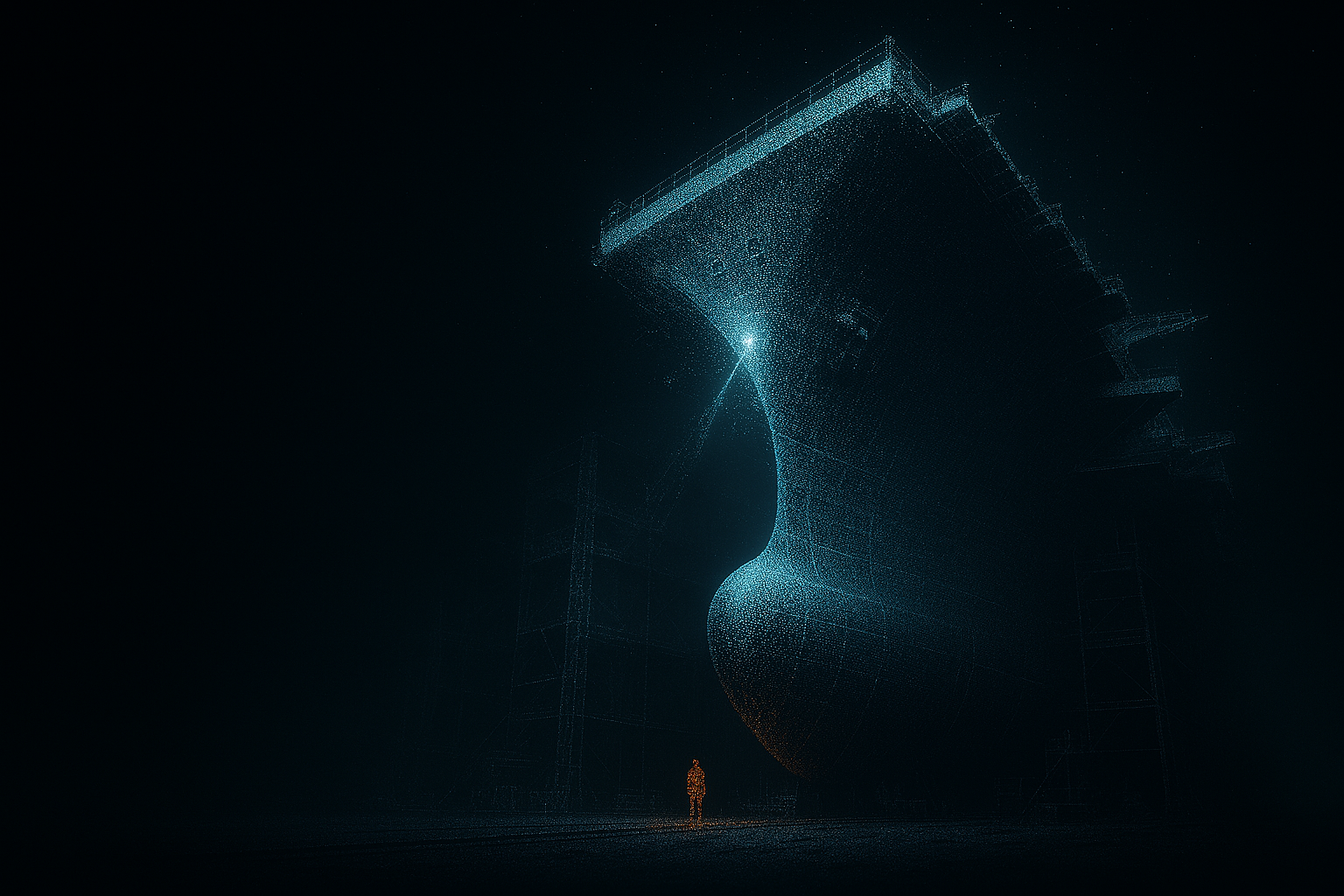
Three products. One engine that renders unlimited point clouds on standard CPUs.
Each product maps to a deployment scenario. Pick the path that matches your environment. Combine them if your organization spans multiple.
udStream
Your experts make decisions on the full captured dataset, not a sample. On-premise, air-gapped, or offline, on the hardware they already carry. Collaborate together via udCloud on whatever device they can access.
- → Full-resolution rendering on standard CPUs
- → Offline and air-gapped deployment options
- → Measurement, annotation, and presentation tools
- → Multi-source data fusion for a single source of truth
- → Windows, macOS, Linux, and browser
- → Deploys on existing IT-approved hardware
- → ThinApp, Installer or browser deployments
udCloud
Securely store and access datasets on any device, anywhere and then work collaboratively to analyze and share insights.
- → Streams only the voxels you need. Bandwidth scales with your screen, not your dataset
- → Deploy on AWS, Azure, private cloud, or air-gapped classified networks. Same Docker image, same features
- → Multiple users navigate the same live dataset in real time, with annotations and measurements syncing across all participants
- → Role-based permissions to control who sees what
- → Browser access to udStream Web for shared review. No install.
- → Ingest terabytes of LiDAR, photogrammetry, and UAV data and distribute the background work to do deep analysis.
udSDK
The rendering engine as a library. Leica embedded it into JetStream. Defence primes and GIS integrators build on it. Now you can too.
- → Our core IP stays protected while your platform gets unlimited-scale 3D rendering.
- → No GPU required. CPU rendering reduces hardware requirements across your entire stack
- → Datasets of any size, streamed as needed. Your customers never hit a scale ceiling
- → Proven in Unreal Engine, custom C++ platforms, and enterprise GIS systems
- → Air-gapped and classified deployment options. Same capability behind any security boundary
- → Direct engineering support from the team that built the engine
Five questions. Answered before you ask them.
Five questions. Answered before you ask them.
"If CPU rendering is so good, why does the entire industry run on GPUs?"
GPUs are exceptional at what they were built for: gaming, ML training, real-time graphics with polygon meshes. For those workloads, GPU rendering is the right answer.
Point cloud data is a different problem. Datasets run to terabytes, not triangles. The bottleneck is not shading. It is finding which points to shade. That is a search problem, and search is what CPUs do best.
Nuclideon's patented algorithm works exactly this way: spatial indexing and per-pixel search, running entirely on CPU. No GPU anywhere in the stack. Shipped to 30,000 users via Leica. Running in US Navy classified environments today.
"Nuclideon is a small, new company. Can you support enterprise deployments?"
Nuclideon is new. The technology is not. The engine represents over a decade of R&D and more than $40 million in development, all of it complete before Nuclideon acquired the IP, patents, and codebase. Five of the original senior developers are shareholders and actively building the platform today.
The company runs on customer revenue, not investor cash. That is a deliberate choice: the previous company's commercial model ran ahead of demand. Nuclideon ships what customers are paying for, and the customers who were paying before administration resumed their contracts almost immediately after incorporation.
"We already have Esri / Hexagon / Trimble. Why do we need another platform?"
You don't. Nuclideon is not a replacement for your GIS, BIM, or asset management tools. It solves the problem they can't: rendering and streaming massive point cloud datasets at full resolution, on commodity hardware, at any scale.
udSDK embeds directly into your current systems. udStream and udCloud sit alongside them. Your existing workflows stay intact. We extend your investment, not compete with it.
The platforms that embed the engine give their customers the capability first. That is the JetStream model, and udSDK exists to repeat it. In the meantime, udStream and udCloud serve the customers whose datasets cannot wait.
"What happened to Euclideon?"
The clue is in the name. Euclideon commercialised the engine and went into administration in 2024, a commercial failure, not a technology one. Nuclideon is the original engineering team: it acquired the assets, cleared the debt, and owns the engine and patents outright. Same technology, same people; new ownership, new commercial model.
"We need this in a classified / air-gapped / disconnected environment."
That is where we started. udStream was built for environments without public internet and no tolerance for data leaving the network. The cloud-connected version came second.
udServer deploys the same behind an air gap as udCloud runs on public cloud. Same features, same permissions model, same collaboration tools. The US Navy runs the engine on classified networks today. No call-home licensing (optional). No data leaves the boundary.
"How large a point cloud can be rendered in real time?"
The Unlimited Detail engine has demonstrated rendering above 200TB with no file-size ceiling, on a multi-core CPU with 8GB RAM. Render cost scales with screen resolution, not dataset size: it grows with the depth of the spatial index, far more slowly than the data itself.
70% to 80%+ lower infrastructure cost. Modelled, and checkable.
70% to 80%+ lower infrastructure cost. Modelled, and checkable.
GPU infrastructure for point cloud visualization costs $3.5M to $5.5M per year at 10,000 users. Nuclideon replaces that entire GPU stack with udSDK blended per-seat licensing, from $100 to $150 per seat per year depending on volume. GPU cost estimates come from industry-average infrastructure pricing; the savings are modelled until verified in your environment. Here is the comparison.
| Scale | GPU Infrastructure | Nuclideon udSDK | Saving |
|---|---|---|---|
| 250 users | $130K–$178K/yr | $32.5K/yr | 75%–82% |
| 1,000 users | $522K–$711K/yr | $130K/yr | 75%–82% |
| 5,000 users | $1.8M–$2.8M/yr | $570K/yr | 68%–80% |
| 10,000 users | $3.5M–$5.5M/yr | $1.07M/yr | 69%–81% |
Above 10,000 seats, pricing is negotiated. The percentage saving increases further at scale because GPU costs grow linearly with users while udSDK's blended per-seat rate trends lower at scale.
What GPU Infrastructure Actually Costs
Nuclideon udSDK Pricing
udStream and udCloud license on a per-seat or per-site basis. Contact us for a site-specific TCO model built on your user count, deployment environment, and data scale.
GPU cost estimates based on industry-average infrastructure pricing. Nuclideon pricing from the udSDK Pricing Model (effective April 2026). Request a site-specific model for your environment.
See it on your data before you commit to anything.
See it on your data before you commit to anything.
Nuclideon does not ask you to sign a contract based on a slide deck. We ask you to send us your hardest dataset. The one that crashes your current tools. The one your team has been working around for months.
We load it. We render it at full resolution on standard hardware. We walk you through the result. On your network if required.
The Proof-of-Concept Guarantee
Send us your dataset. If Nuclideon cannot render it at full resolution on standard hardware, you owe us nothing. If it works, you have the evidence you need to make the decision. No commitment until you have seen the result.
Every customer in Nuclideon's portfolio started with a proof of concept. Lockheed Martin did not take our word for it. They sent their data. We rendered it. They signed.
Lab Director
US Navy
Your data doubles every two years. Your tools don't.


Your data doubles every two years. Your tools don't.
Every month you wait costs roughly $50,000 per thousand users in GPU infrastructure. That number only grows.
Nuclideon eliminates that cost. Today. On hardware you already own.
Don't accept a fraction. We show you everything.
Unlimited Detail is the patented rendering engine behind every Nuclideon product.